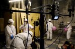
Scientifiques immergés dans une représentation numérique tridimensionnelle de la cathédrale Notre-Dame de Paris
© Cyril Frésillon / Dassault Systèmes / CNRS / Cité de l’Architecture et du Patrimoine / EPRNDP
Voir le média
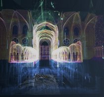
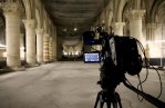
© Cyril Frésillon / Dassault Systèmes / CNRS / Cité de l’Architecture et du Patrimoine / EPRNDP
Voir le média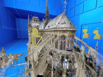


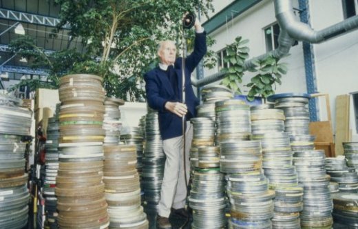
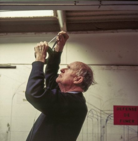
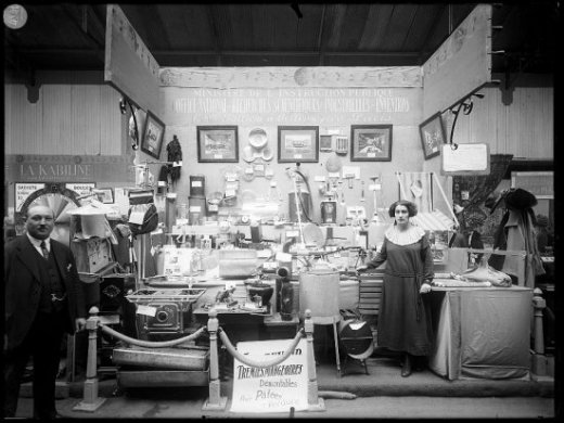
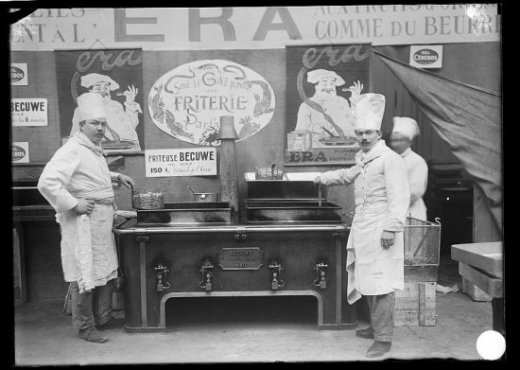
Nos archives de photos et films remontent au début du XXᵉ siècle

Nous mettons en images les recherches scientifiques pour contribuer à une meilleure compréhension du monde, éveiller la curiosité et susciter l'émerveillement de tous.