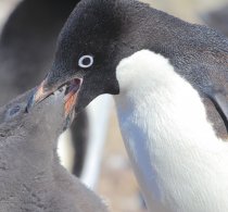
Colonie de manchots empereurs en Terre Adélie, Antarctique.
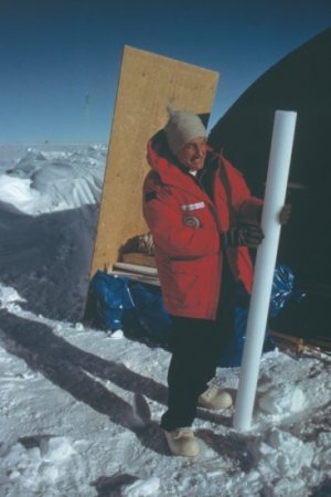
© Mireille Raccurt / CNRS Images
Voir le média
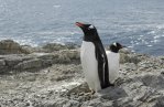
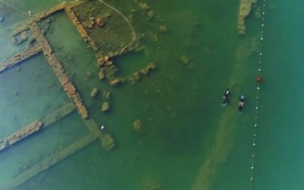
© Mireille Raccurt / CNRS Images
Voir le média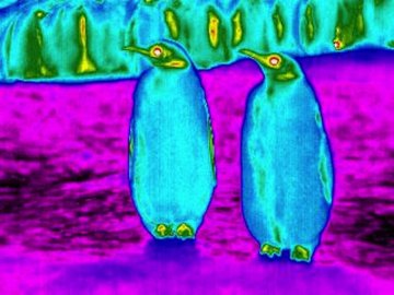


Nos archives de photos et films remontent au début du XXᵉ siècle


Nous mettons en images les recherches scientifiques pour contribuer à une meilleure compréhension du monde, éveiller la curiosité et susciter l'émerveillement de tous.